Customizing Annotations: Fine-Tune Annotations for Operational Precision
Enhance clarity during drone operations by customizing annotation metadata and visuals—from names and altitudes to icons and color codes.
In-Flight Modules
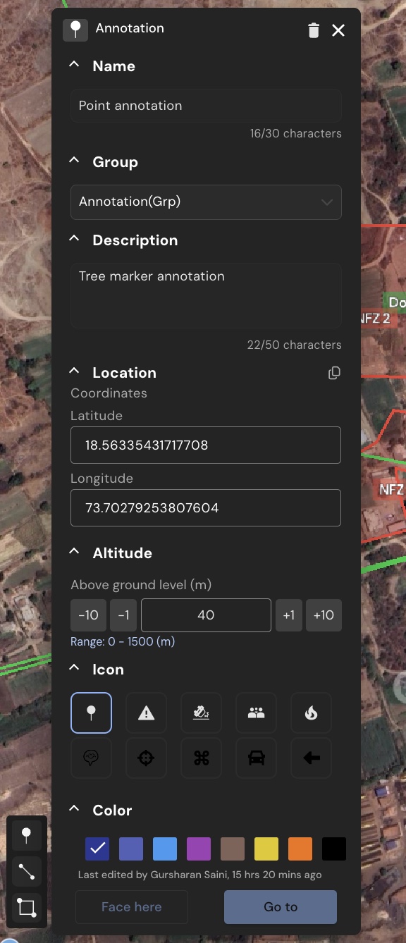
Annotation Fields
Each annotation includes several editable fields to help describe and locate the point more accurately:
- Name: Identify the annotation clearly for your team
- Description: Add purpose or notes related to the point of interest
- Group: Groups and sub-groups let you keep annotations tied to a region, a mission phase, a piece of equipment, or any other structure that fits your operation.
- Latitude & Longitude: View precise placement on the map
- Altitude (AGL): Define the vertical height above ground level for better 3D context
Icon Selection
You can now choose from a wider set of default icons that visually represent common mission elements (e.g. hazard, fire, alert, etc.).
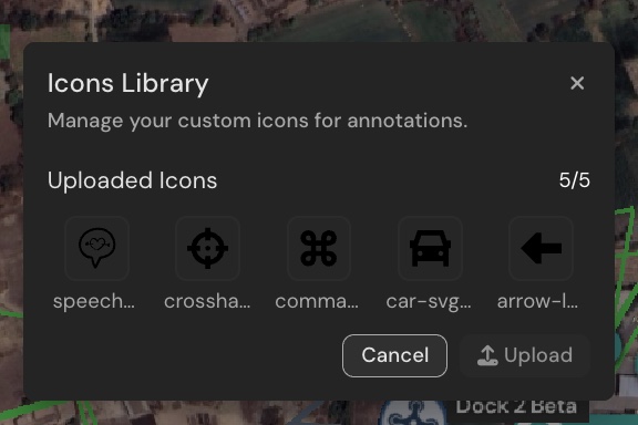
Additionally, upload your own custom SVG icons to match internal symbols or workflows:
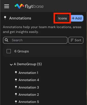
- In the Annotations panel, click on Icons
- Click on Upload to select a custom icon (maximum 5 icons allowed)
Color Palette
Annotations now support an expanded range of color options. Use these to categorize or prioritize annotations based on status, severity, or mission type
Tips for Customization
- Use color consistently across teams to build familiarity
- Standardize icon sets across projects for easy identification
- Include relevant context in descriptions to reduce back-and-forth during missions
Was this helpful?